Summary
The combination of Sentinel satellite imagery, spatial software capable of analysis and assessing the eligibility of features and land uses based upon probability assessments and geotagged photography under controlled conditions together present the opportunity to minimise the need for traditional on-the-spot controls. The benefits of this approach will be multiplied if this data collection process occurs in synergy with other digital technologies, such as crop monitoring and yield forecasting, bringing greater efficiencies to farms. Soil Organic Carbon (SOS) and Soil moisture will be evaluated under the potential eco-schemes from the new CAP.
Objectives
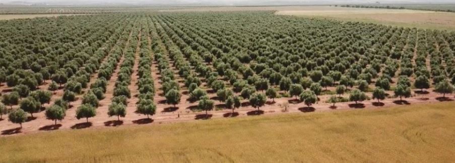
Soil resources can be managed to help mitigate climate change, to increase agricultural production and to maintain soil quality. Land management can influence Soil Organic Carbon being the main component of Soil Organic Matter. Soil formation can be influenced by temperature, moisture regime, soil properties and their interaction with soil biota. The main objective is the monitoring of SOC changes in olive groves under beneficial practices as key variable for soil quality status and to help mitigate climate change.
Public Goods



Problem description
The Integrated Administrative Control System (IACS) introduces specific regulatory requirements and technological tools (Geo Spatial Aid Application, LPIS, etc). The current IACS incorporates different databases (farmers’ register, animal register, LPIS, entitlement register, claim databases) but not a methodology to monitor agricultural beneficial practices. In the draft IACS legislation for the new CAP, there is the possibility of introducing data and monitoring systems using Copernicus/Sentinels satellite data or equivalent. Currently, there are several reports on the potential for
the use of technologies such as satellites, drones, artificial intelligence, which would support a large part of these tasks, reducing costs in transporting technicians to the plots and increasing the number of plots to be monitored. However, if these types of technologies are not facilitated and supported by policies, they can hardly be widely implemented. The methodology developed by Evenor-Tech is based on MicroLEIS and Carbosoil model, and earth observation techniques for monitoring water retention.
For that, validation in-situ model with EO services will be carried out considering tillage management variables (plantation system, vegetation cover, and residues). The final step is developing pedotransfer functions for finding relationships among indicators for soil carbon content and soil water retention and bands or indexes from Sentinel.
